DocumentsPresentationApr 30, 2024Pages 14–27
Bilston Watershed Habitat Protection Association — Presentation
Presentation by the Bilston Watershed Habitat Protection Association outlining watershed stewardship work, biodiversity, aquifer vulnerabilities, restoration projects, partnerships, and the value of wetlands and green infrastructure for stormwater management.
Key facts
- Presenter/Contact: Alison Leduc, BWHPA President (bilstonwatershed.org)
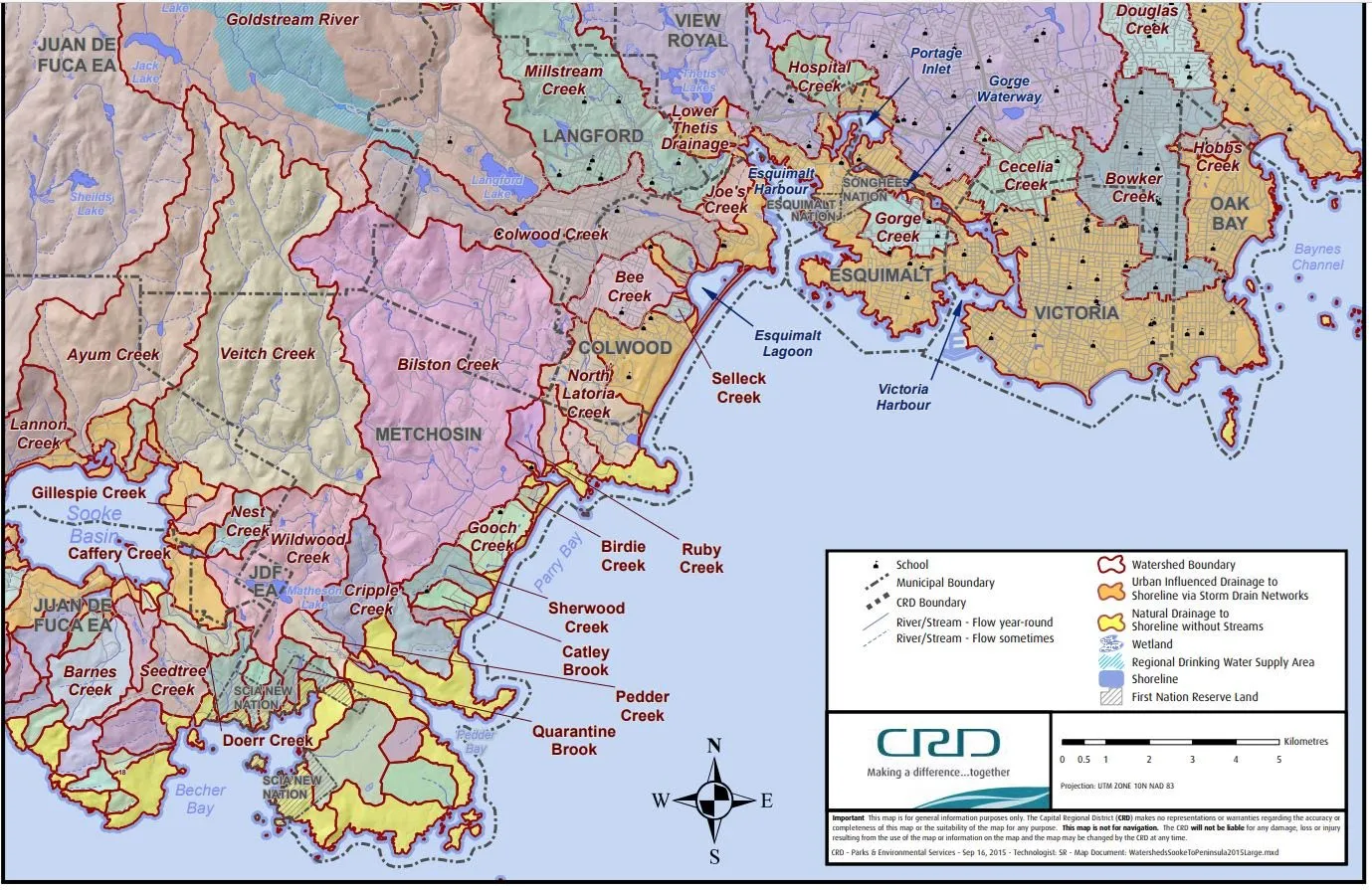
- Bilston Watershed area: 3,129 hectares (covers Langford, Metchosin, Colwood, Juan de Fuca Electoral Area)
- Aquifer 606 supplies water to over 1,550 wells and is ranked as 'highly vulnerable to contamination'
- Species of concern present: Coastal Cutthroat Trout, Northern Red-Legged Frogs, Blue-grey taildropper slugs, Sharp-tailed snakes
- Restoration projects: multi-year work at Martin Brook, two-year restoration on Firehall Creek, enhancements to Bilston Creek to stop erosion and protect spawning beds
Bilston Watershed Habitat Protection Association — Presentation
Alison Leduc, BWHPA President
visit us at bilstonwatershed.org
About BWHPA
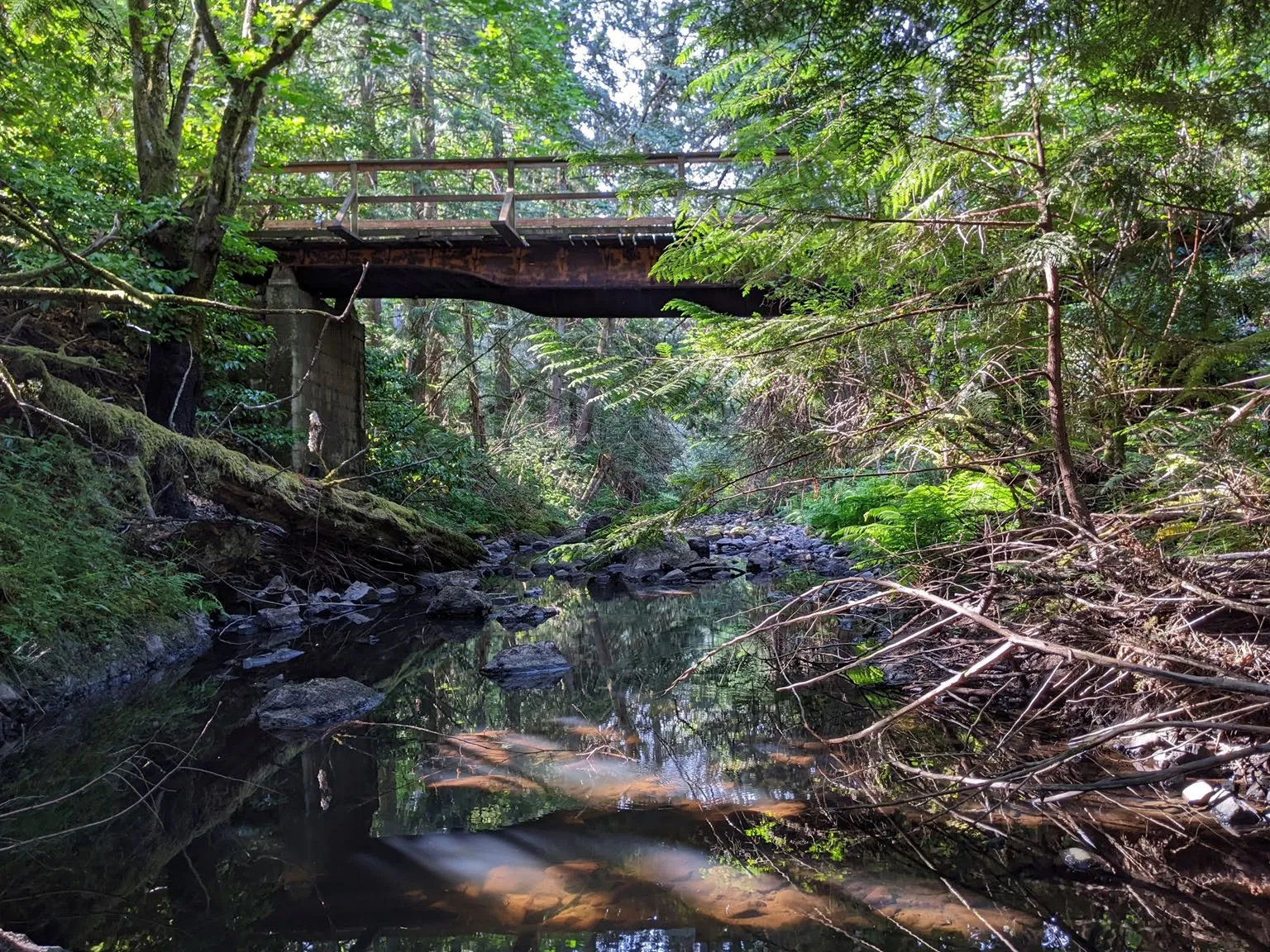
Bilston Watershed stewards since 1991
- Early multi-year project at Martin Brook along Sooke Rd
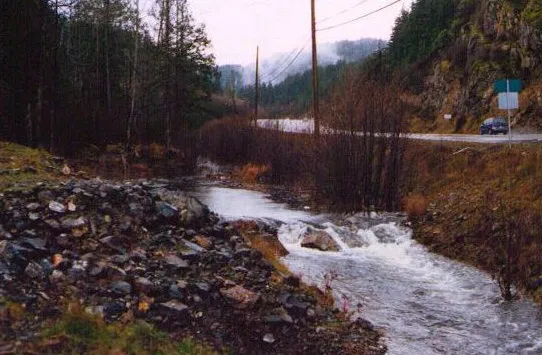
Martin Brook restoration project photo - Two-year restoration project on Firehall Creek to remove invasive species, get native plants established in riparian area and build riffles to aid spawning trout
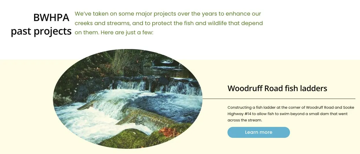
Firehall Creek restoration work photo 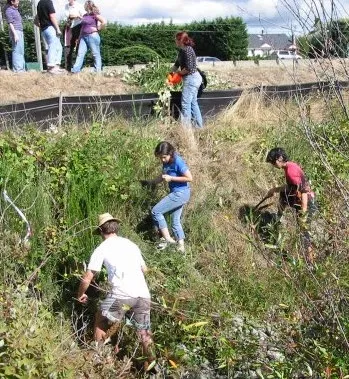
Riparian planting and riffle construction photo - Bilston Creek enhancements off Winter Road to stop erosion and protect spawning beds
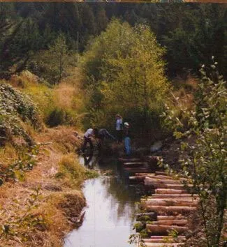
Bilston Creek enhancements off Winter Road photo
Bilston Watershed totals
- 3129 hectares
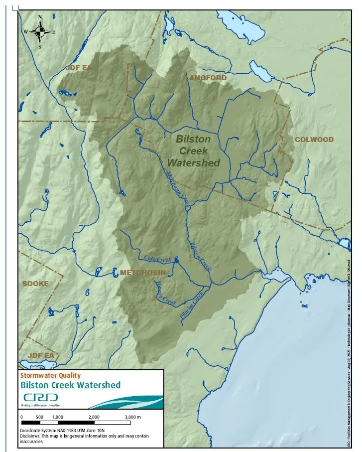
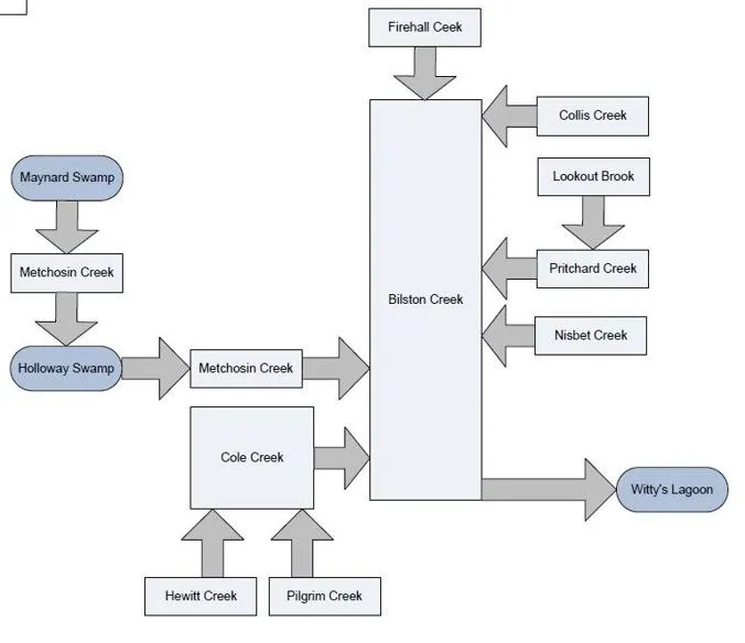
Bilston Watershed covers an area of 3129 hectares in Langford, Metchosin, Colwood, and the Juan de Fuca Electoral Area
Biodiversity
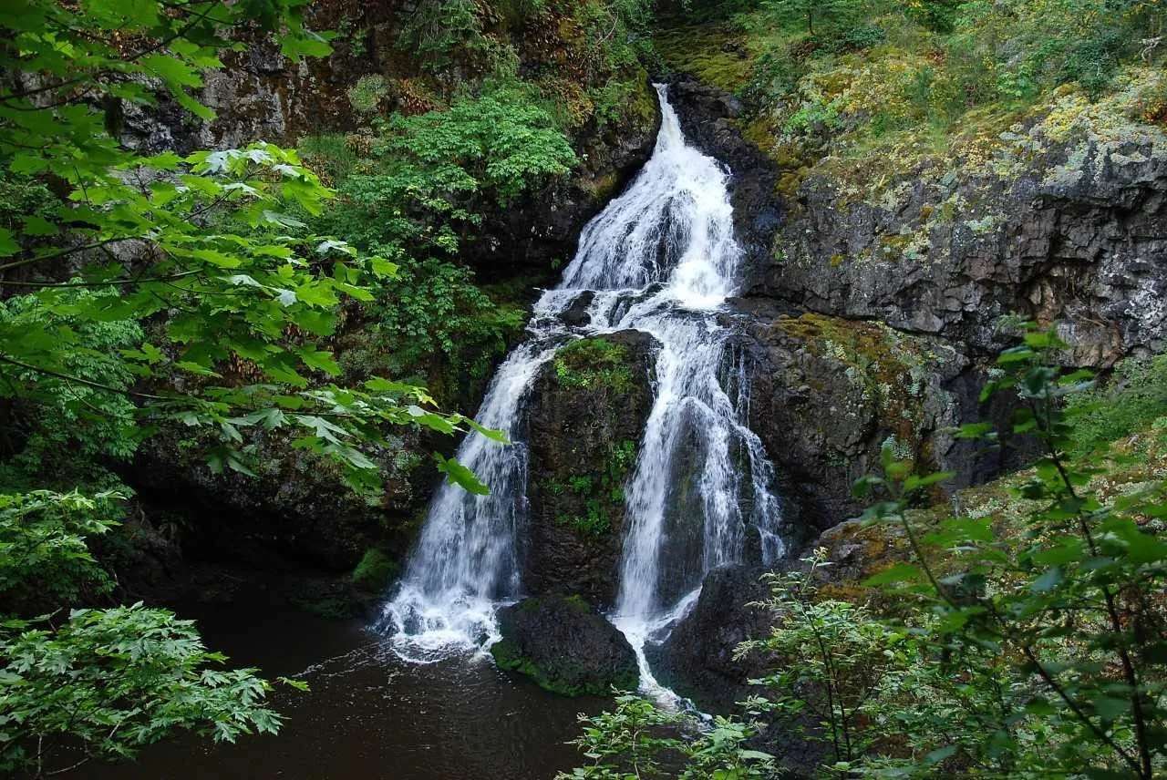
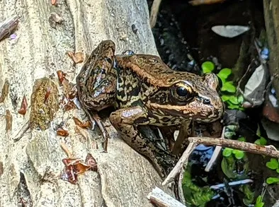
There’s a rich biodiversity of species in Bilston Watershed. Our watershed is home to red- and blue-listed species including Coastal Cutthroat Trout (CCT), Blue-Grey Taildropper Slugs, Northern Red-Legged Frogs & tiny Sharp-tailed Snakes.
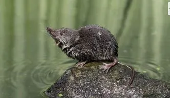
- Western water shrew
Western water shrew photo - Northern Red-Legged Frog
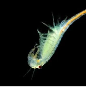
Northern Red-Legged Frog photo - Fairy shrimp need vernal pools and ephemeral wetlands to survive.
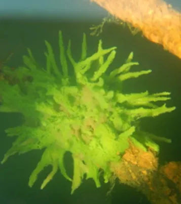
Fairy shrimp in vernal pool photo - Freshwater sponges filter and clean the creek water.
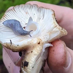
Freshwater sponge in creek photo - Blue-grey taildropper slug
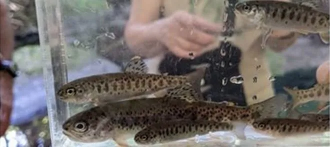
Blue-grey taildropper slug photo - Coastal Cutthroat Trout (CCT) and observations
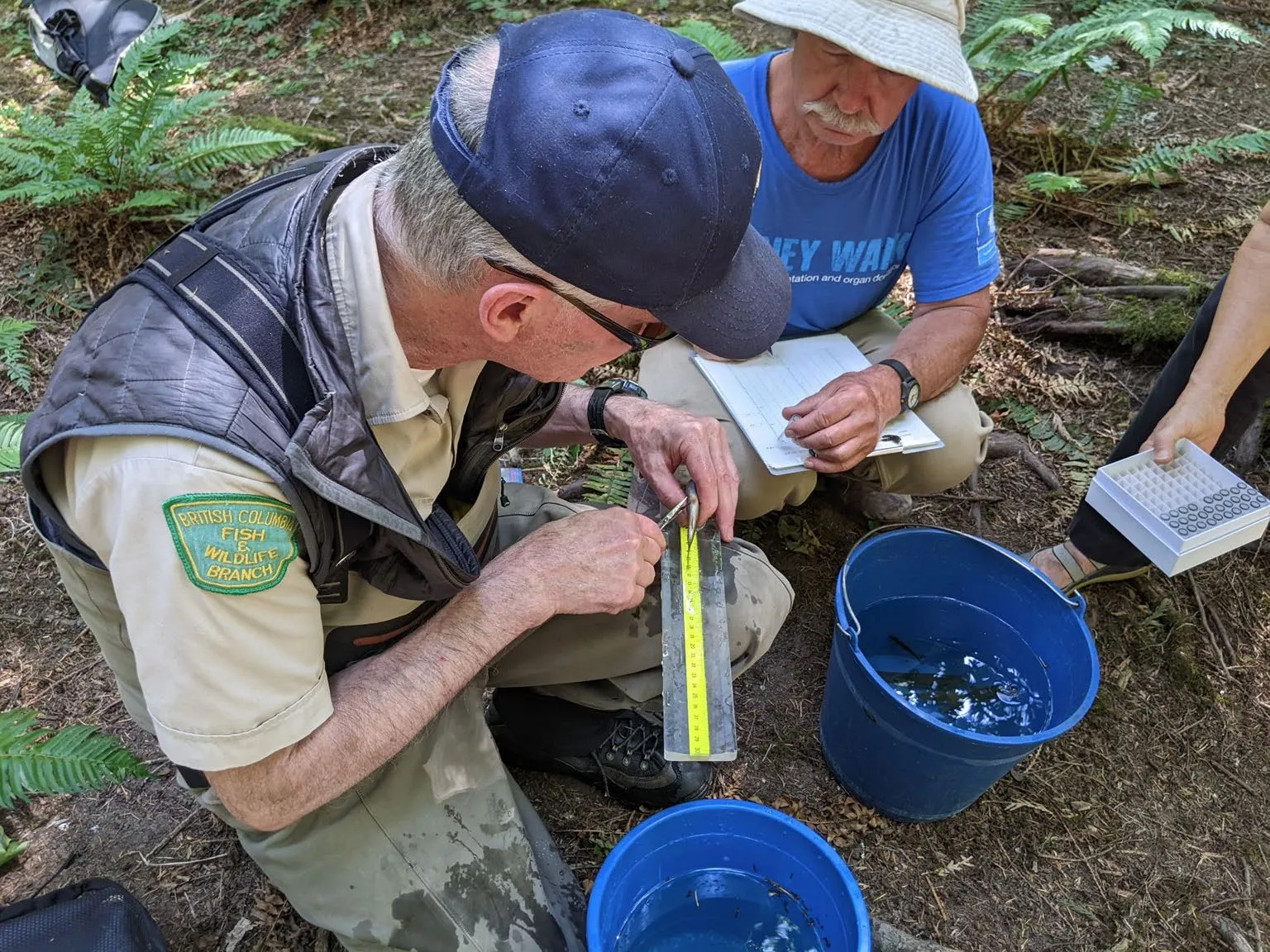
CCT are an indicator species. If conditions are good for CCT, we know many other species can survive. In 2023, we found young CCT in Bilston, Metchosin, Pritchard and Hewitt Creeks, although drier, hotter summers, reduced baseflow, sediment and other contamination are severely challenging the population.
Community engagement and activities
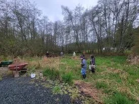
- Joined Langford’s 2023 Earth Day celebrations at Willing Park to remove invasive plants near Bilston Creek
Volunteers removing invasive plants at Willing Park - Provincial biologists & volunteers survey and sample Coastal Cutthroat Trout
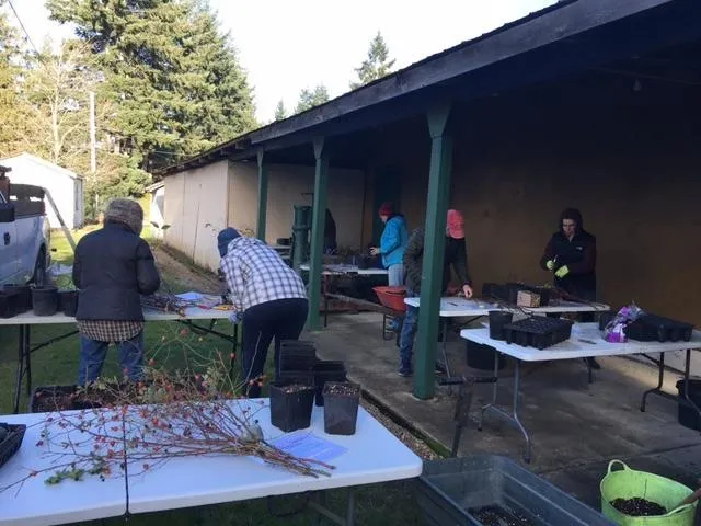
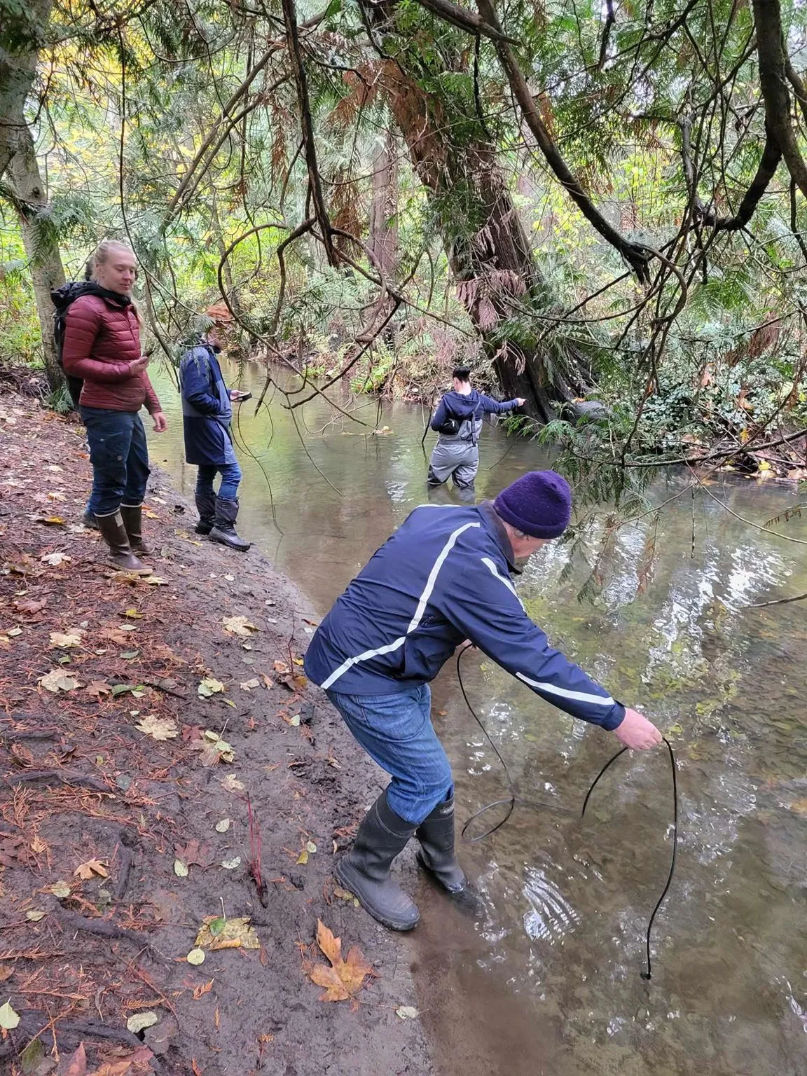
Provincial biologists and volunteers sampling CCT - Propagation workshop
Plant propagation workshop photo - Streamkeepers course
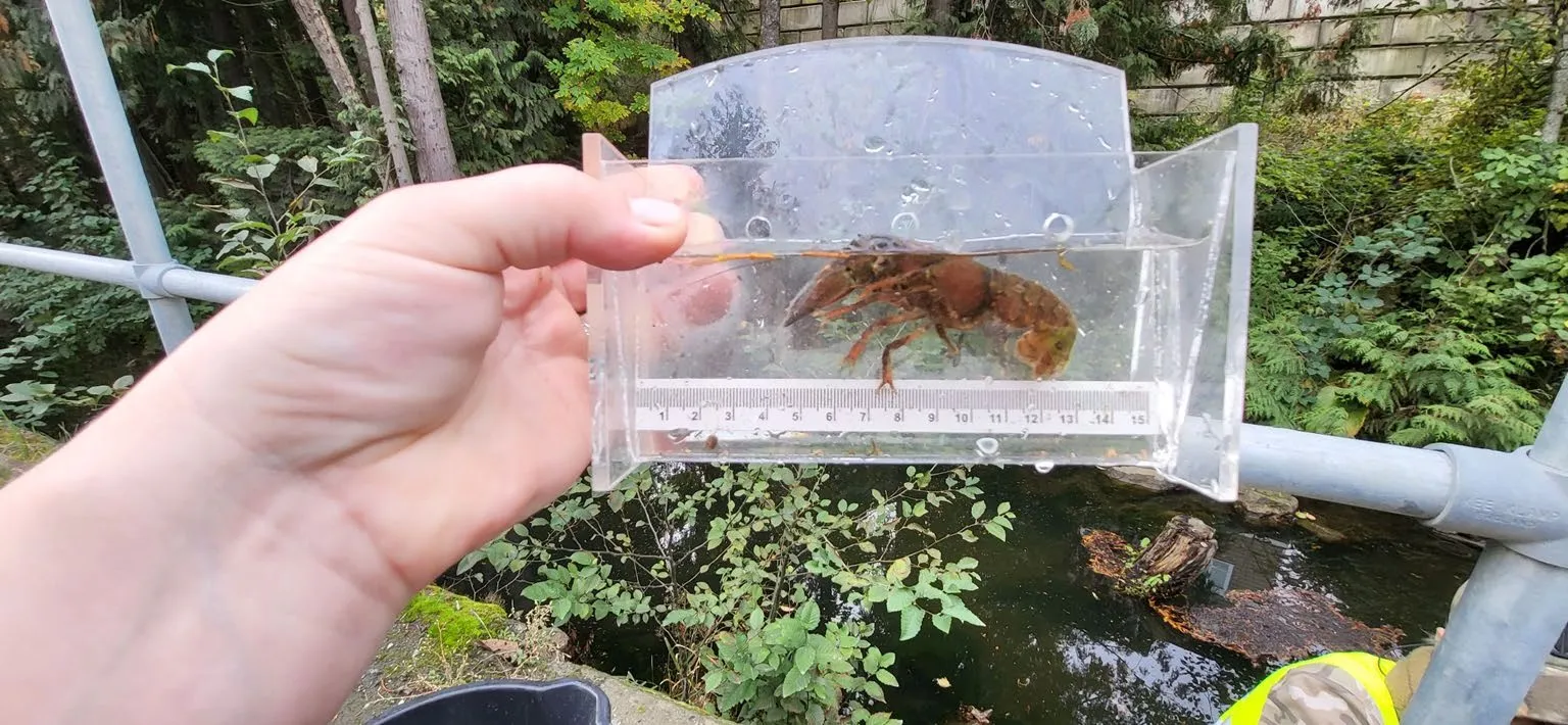
Streamkeepers course participants - Ongoing surveying and sampling of aquatic life in our waterways
Partners and collaborators
A few of the agencies, organizations and groups we’re working with now:
- Peninsula Streams Society
- Pacific Streamkeepers Federation
- Freshwater Fisheries Society of BC
- Habitat Conservation Trust Foundation
- World Fisheries Trust/Coastal Collaborative Sciences
- BC Wildlife Federation
- UVic Community-Engaged Learning Office
- UVic Community Research Partnerships Office
- SFU Action on Climate Team
- BC Ministry of Environment
- BC Ministry of Transportation
- City of Langford
- District of Metchosin
- Capital Regional District
- Power to Be Victoria
- The Land Sharing Network
- Metchosin 4-H
Wetlands and their functions
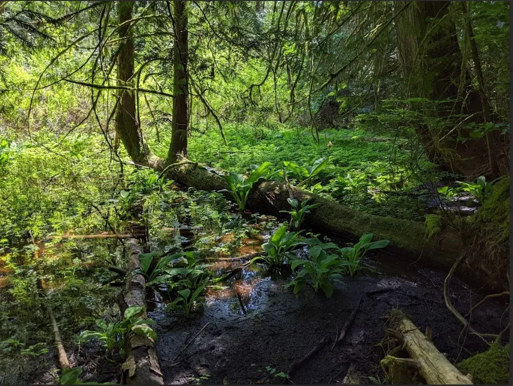
Wetlands remove pollutants, prevent flooding, and provide thermal regulation and water storage when allowed to act as sponges. On top of all that, they provide vital habitat for animals and plants.
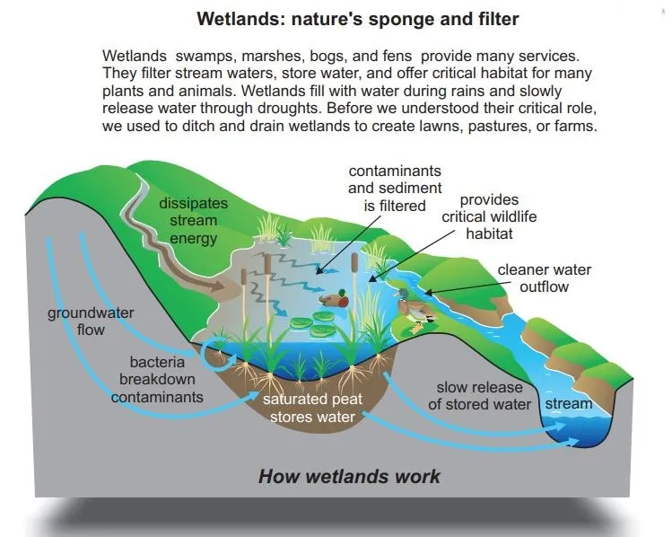
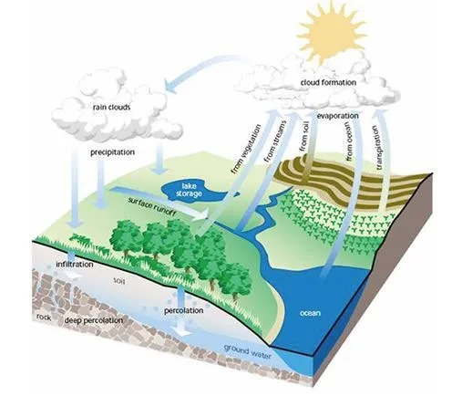
The incalculable wealth of healthy wetlands and aquifers.
Wetlands are sometimes referred to as “nurseries” because so many animals begin their lives within them.
Aquifers underlying Bilston
There are 3 different aquifers underlying Bilston Watershed. Aquifer 606 is the source of water for over 1550 wells in the Langford, Metchosin and Sooke area. It’s ranked as “highly vulnerable to contamination”. Recharging an aquifer can take days, years, centuries or even millennia, and we need to ensure that sufficient clean water gets absorbed into the ground for recharge.
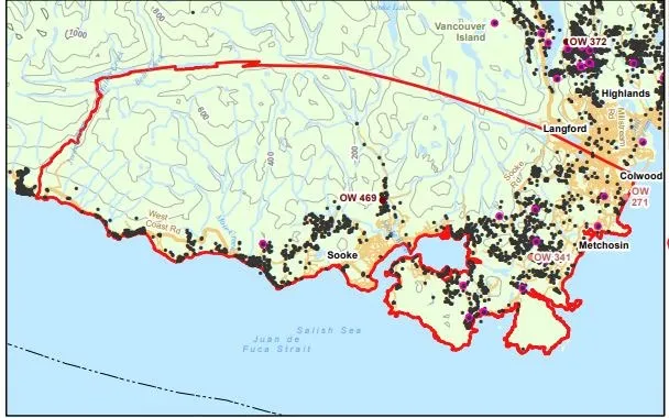
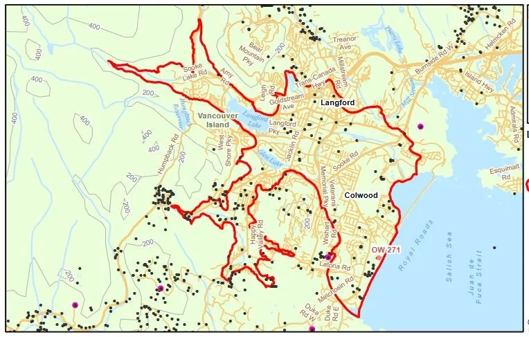
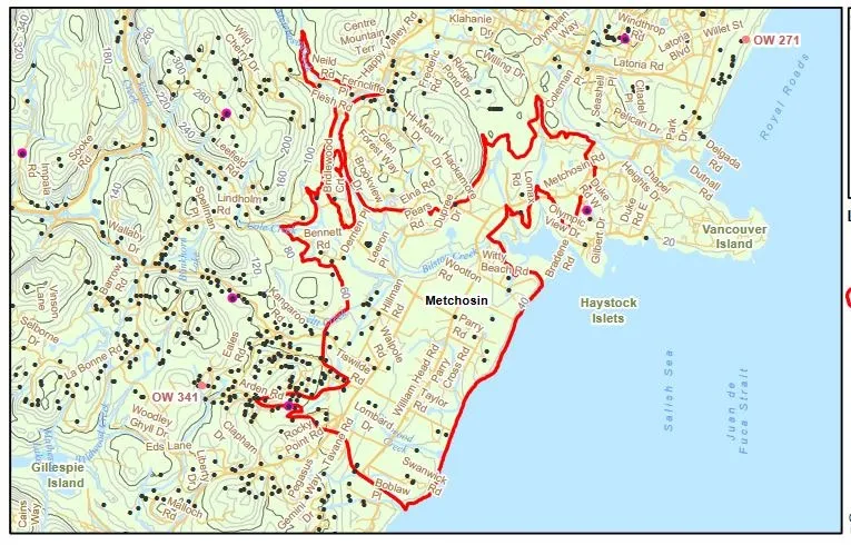
Aquifers:
- Aquifer 683
- Aquifer 682
- Aquifer 606
Rainwater as a resource and green infrastructure
We need to think of rainwater as a resource, not a waste product.
- Green infrastructure requires less maintenance over time, saving costs.
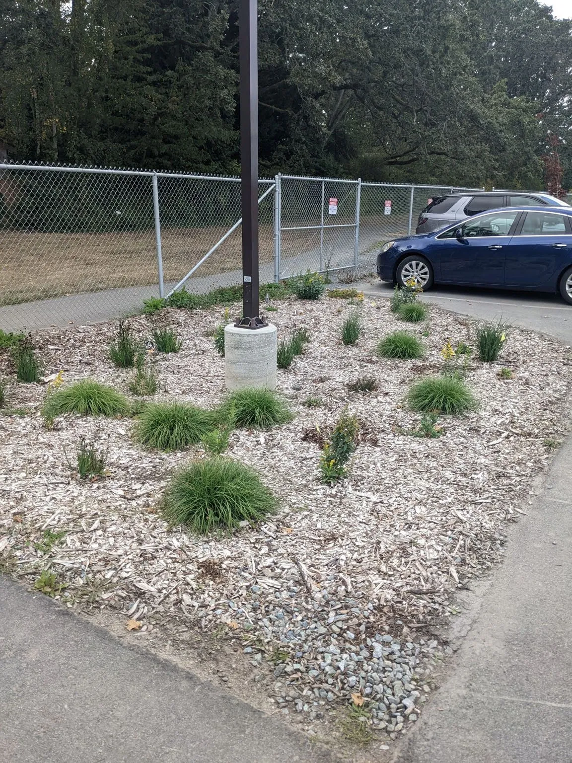
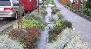
Green infrastructure example photo - Peninsula Streams project
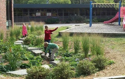
Peninsula Streams project photo - Urban landscapes can be designed to filter, absorb, clean and store water through the use of green infrastructure, low impact development, and integrated stormwater management plans.
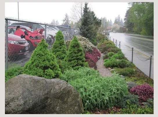
Low impact development example 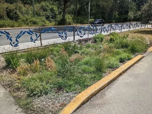
Integrated stormwater management illustration
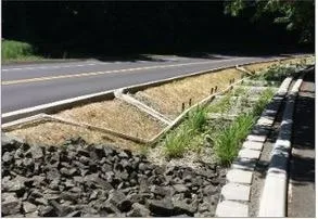
Bioswales and road runoff
Streams and creeks close to roadways are particularly vulnerable to pollutants such as 6PPD-Q and other contaminants from tire wear particles, hydrocarbons, heavy metals and road salt.
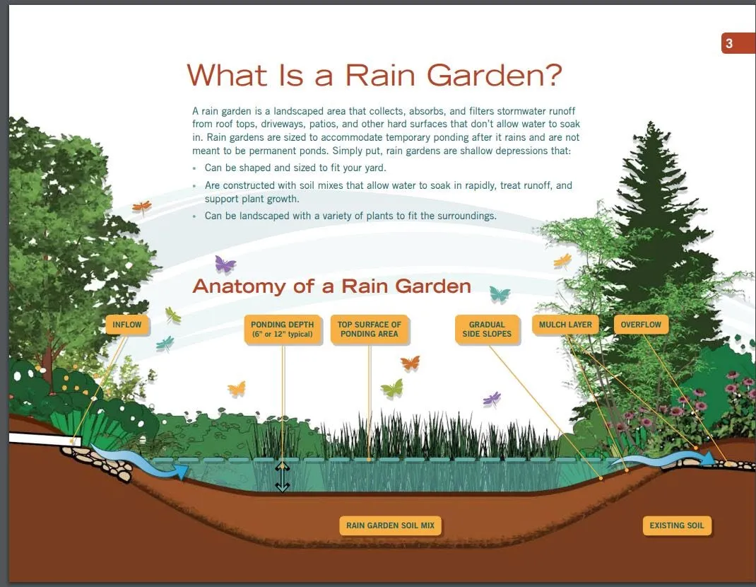
Bioswales are designed to both remove rainwater accumulating on roadways (making the roads safer to drive on) and filter runoff contaminants.
Bioswale diagram by Andrew Mack, Washington State University
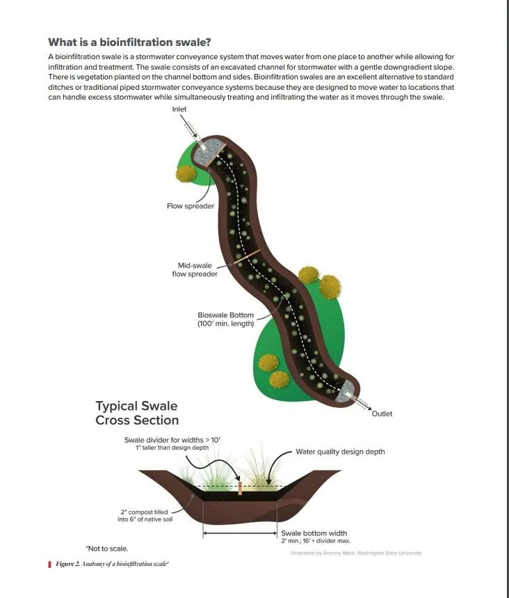
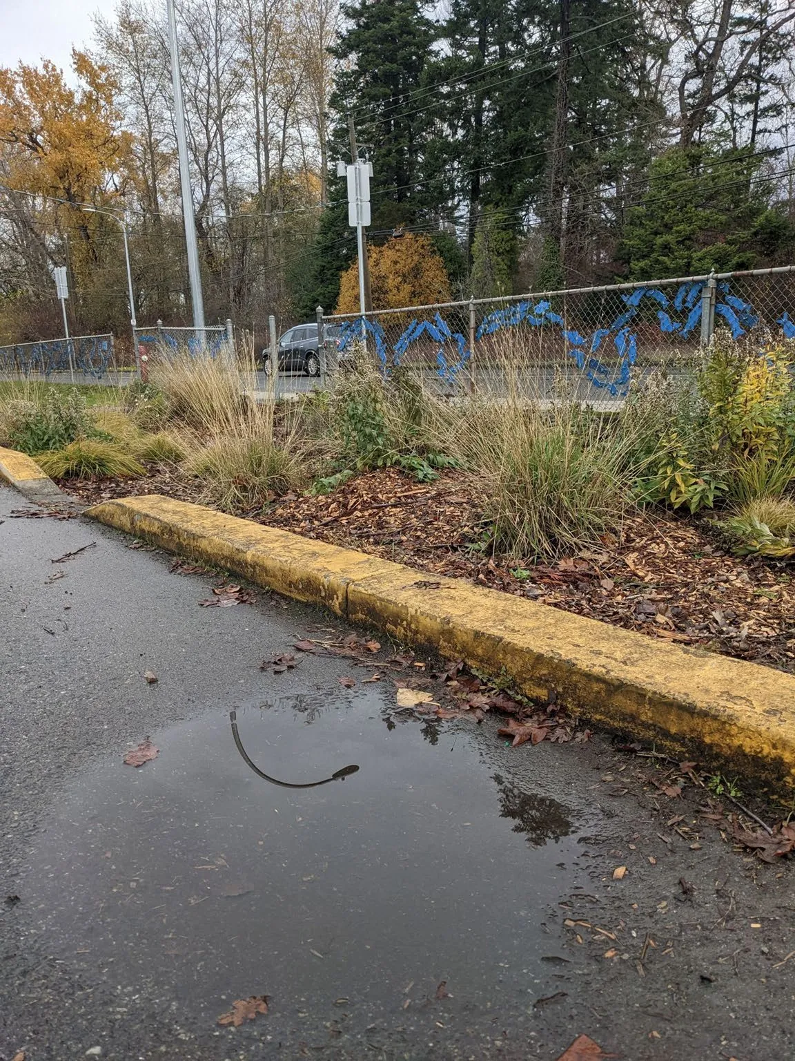
Runoff from roads filtered by engineered soil mixes and plants reduces pollutants from entering stormwater infrastructure and receiving waters.
Flooding events and green infrastructure benefits
Extensive flooding in Happy Valley and Walfred Road areas in the fall of 2021
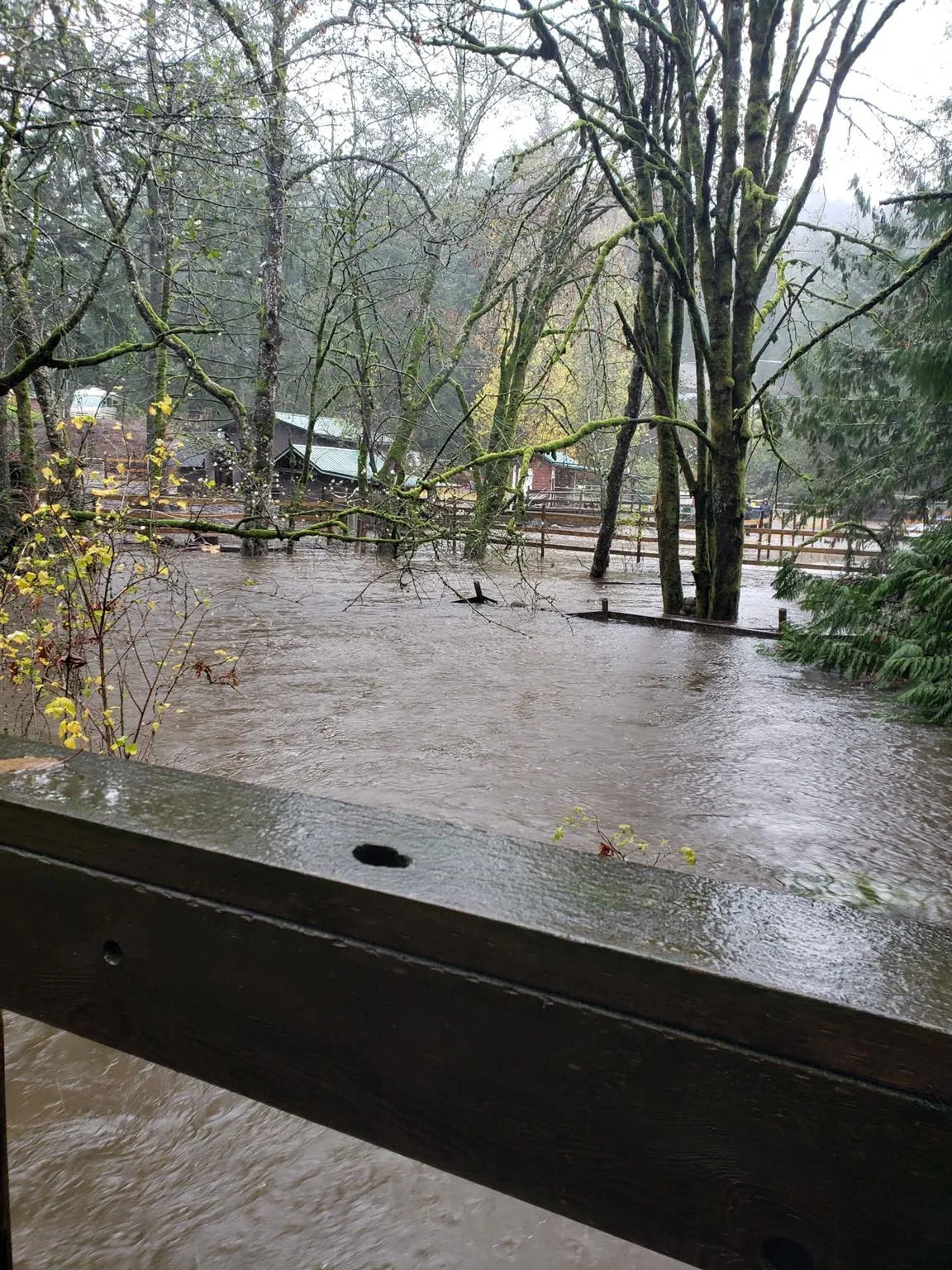
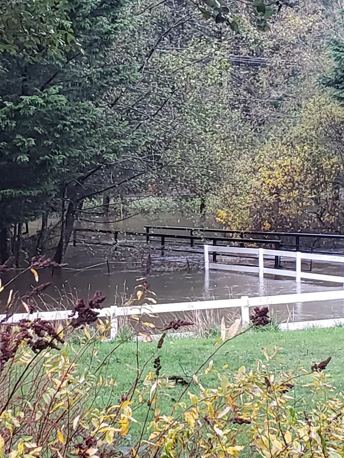
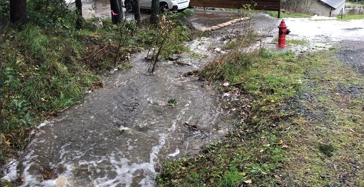
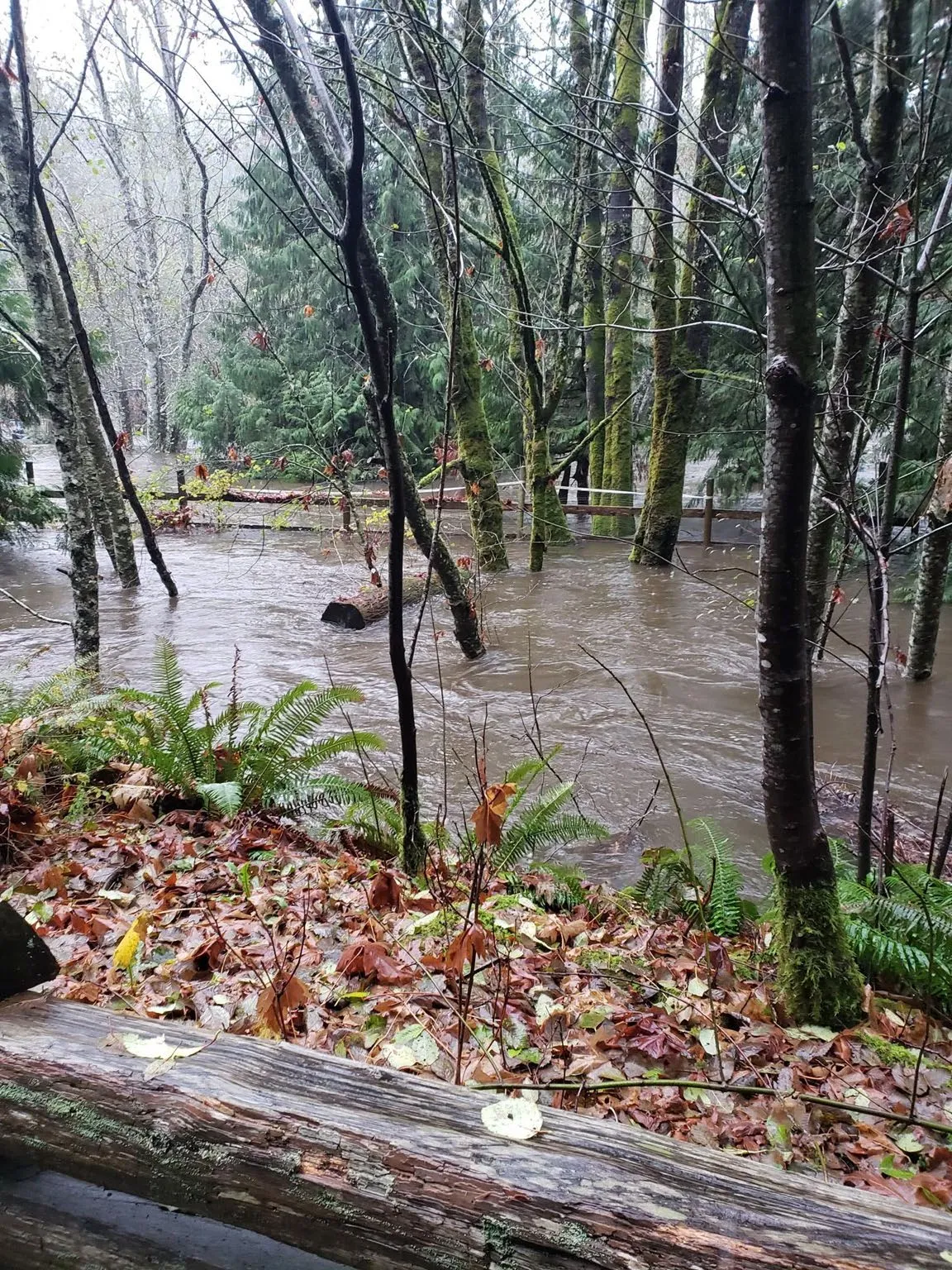
The use of green infrastructure and preservation of wetlands can effectively reduce storm damage.
Watershed-scale planning
Planning at the watershed scale integrates decisions about land use planning, water & ecosystem protection, economic development, climate mitigation and climate adaptation. Watershed planning initiatives are underway across BC. With the emphasis on increasing density and climate change bringing more frequent droughts and more likely flooding, it’s more important than ever to design a watershed protection plan that supports all life in the watershed.
Thank you / Credits
Bilston Watershed Habitat Protection Association
Thank you for your time!
Visit us at bilstonwatershed.org.
Our thanks for providing photos, videos, diagrams and maps to:
- The Capital Regional District
- Peninsula Streams Society
- Washington State Department of Ecology
- Government of British Columbia
- Dylan Simpson
- Bev Hall
- Scott Harris
- Gary Schroyen
- Ian McKenzie
- Washington State University Extension