DocumentsBylawMay 21, 2019Pages 113–141
BYLAW NO. 1828 — 'Langford Official Community Plan Bylaw, Amendment No. 30, 2019' (FIRST READING)
Official Community Plan (OCP) Amendment No. 30 (Bylaw No.1828) presented for first reading.
Key facts
- Bylaw No.: 1828
- Title: Langford Official Community Plan Bylaw, Amendment No. 30, 2019
- Procedure: FIRST READING (agenda page 113)
BYLAW NO. 1828 — "Langford Official Community Plan Bylaw, Amendment No. 30, 2019" (FIRST READING)
Staff Report to Council
Date: May 21, 2019
Department: Planning
Subject: Official Community Plan Bylaw No. 1828 Updates and Zoning Bylaw Design Guidelines Appendices updates
Contact
2nd Floor · 877 Goldstream Avenue · Langford, BC Canada · V9B 2X8
T · 250-478-7882 F · 250-478-7864
Background
The City of Langford’s Planning and Subdivision Department has been working with Dr. Avi Friedman Consultant Inc. to prepare an updated Appendix J to the Zoning Bylaw 300 which currently contains the Downtown Langford Design Guidelines. This work has included studies of Langford as a whole, the recently expanded City Centre and stakeholder engagement sessions to gather and distribute information. As a result, Dr. Friedman’s team had put together a number of proposed updates for the Zoning Bylaw 300 “Appendix J”. The planning department has incorporated the proposed updates with the existing appendix as well as the visions and objectives set out in the Official Community Plan (OCP) to create a blended, comprehensive document, now titled “Appendix J: General Guidelines for Langford City Centre”.
As a result, Appendix V “Langford City Centre” will require a title change to “Belmont Market and Residences” which better represents the area the guidelines are regarding, and minimizes confusion between itself and the new Appendix J. As previously mentioned, the proposed Appendix J guidelines will be titled “General Guidelines for Langford City Centre”.
Proposed Changes
Zoning Appendices Bylaw 1201 (Bylaw 1829)
Updates will be required in various appendices because of the proposed Appendix J to create continuity amongst documents.
- Updating the term “Downtown Langford” and “Downtown Pedestrian Commercial Development Permit Area” to “Langford City Centre” and “City Centre Development Permit Area” throughout the Zoning Bylaw Appendices;
- Development Permit area expansion from the Downtown Pedestrian Commercial Area to the entire City Centre area as defined in the OCP;
- An addition to Appendix A section 1.4.1 Development Permit, regarding exemptions for single and multi-family dwellings due to the inclusion of additional single and multi-family dwellings to the City Centre development area;
- Updated neighbourhood division, including background and development considerations within the City Centre Area; and
- Includes formatting, section re-ordering, reference updates, elaborated general objective section, and guidelines directed solely at private development. Examples include:
- “Parking lots and structures are expected to incorporate wiring for Electric Vehicle charging stations.”
- “Development is encouraged to incorporate multiple lots (consolidation of two or more lots) as to increase green space potential.”
Official Community Plan Bylaw 1200 Update – (Bylaw 1828)
The updates occurring to the OCP are as listed in the attached bylaw. Due to Appendix J, a number of updates should be made to the OCP for continuity and clarity.
- The City Centre section has undergone visual and contextual updates to reinforce Appendix J.
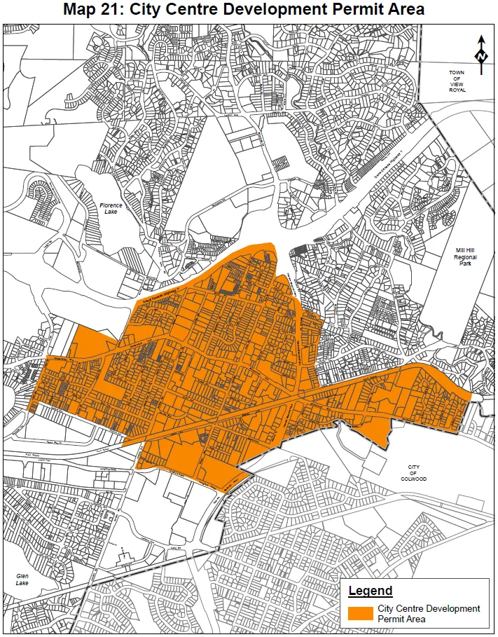
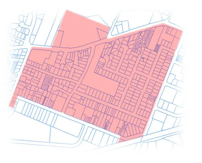
- Map 21 of the OCP will now reflect the entire City Centre as illustrated in Map 2 of the OCP, thus adding to the development permit area previously identified in the core of Langford’s City Centre.
- Additional objectives and policies in the City Centre section provide background for the updates to the Design Guidelines with regards to green and open space as well as long term development.
- Various text amendments throughout section 14.0 Development Permit Areas of the OCP to update the Local Government Act section number references, the alteration, and the addition of paragraphs referring to Map 21.
These updates create consistency throughout all documents affected by Appendix J.
Financial Implications
There are no negative financial implications foreseen for the City of Langford. In contrast, there is an anticipated increase in development and an increased tax base from additional residential units.
Legal Implications
No legal implications, the City of Langford is permitted to make these changes under the Local Government Act.
Options
That Council:
Option 1
Give 1st Reading to Bylaw Nos. 1828 and 1829 as presented;
Or
Option 2
Take no action at this time with respect to Bylaw Nos. 1828 and 1829.
Respectfully submitted,
Submitted by:
Wolfgang Schoenefuhs, Planning Technician
Concurrence:
Matthew Baldwin, MCIP, RPP Director of Planning
Cory Manton, Manager of Parks and Recreation
Adriana Proton, Manager of Legislative Services
Michelle Mahovlich, P.Eng, P.Geo, Director of Engineering
Leah Stohmann, MCIP, RPP, Deputy Director of Planning
Michael Dillabaugh, CPA, CA, Director of Finance
Braden Hutchins, Director of Corporate Services
Darren Kiedyk, Chief Administrative Officer
:ws
Appendix J: General Design Guidelines for Langford City Centre
(Bylaw No. 1201)
JUSTIFICATION
The City of Langford has designated all of the City Centre, as shown shaded in Map 21 of Bylaw No. 1200 Langford’s Official Community Plan (OCP), as a Development Permit Area pursuant to the provisions of Section 488(1)(d), (e), and (f) of the Local Government Act. The City Centre plays a special role in both the residents’ and visitors’ impression of the City, therefore high quality planning, design and execution is essential for the City Centre. These Design Guidelines provide a comprehensive framework that incorporates design flexibility to create a unique and identifiable character while ensuring design diversity amongst developments within the City Centre. This appendix provides guidance and direction for the design and planning of buildings, site layouts and onsite landscaping. When the guidelines in this appendix conflict with statements in the Zoning Bylaw 300 for the City Centre, these guidelines will take precedent.
OBJECTIVE
The Official Community Plan outlines objectives and policies for both the public and private realms, the overarching objective of this set of guidelines is to provide guidance for private developments to contribute to the City’s vision.
In particular, these Design Guidelines address the following OCP objectives:
- Ensure development in and around centres supports a nodal pattern of development;
- Encourage the growth of business activities in all parts of the community as a mixed-use urban design objective;
- Create livable streets through scale, form, building orientation and character elements;
- Ensure accessibility is considered for planning and design of buildings, the public realm and public parks;
- Promote a greater sense of place that celebrates our community’s unique setting and people;
- Preserve and increase the stock of safe and affordable housing;
- Support residents in moving through the stages of the housing continuum and facilitating the delivery of a range of housing types along the continuum;
- Pursue ‘aging in place’ and accessibility strategies for housing;
- Set targets for family and ground-oriented housing in high-density development projects;
- Develop more connected and integrated City Centre road networks;
- Encourage energy efficiency and green building development for new buildings; and
- Ensure flexibility and ability to adapt to future changes.
Applicants should provide a statement indicating how their proposal complies with the following guidelines. Where some element of the design does not comply with a guideline, a justification stating the divergence and the reasoning should be made. Council may diverge from the guidelines where a convincing or persuasive rationale that preserves the intent of the guidelines is supplied.
1. URBAN ENVIRONMENT
- Create livable streets through scale, form, building orientation and character elements;
- Ensure accessibility is considered for planning and design of buildings, the public realm and public parks; and
- Promote a greater sense of place that celebrates our community’s unique setting and people.
1.1. Sense of Place
Intent: To create a sense of transition as one enters or departs the City Centre.
Guidelines:
a) Developers are encouraged to contribute to the beautification of their property through art installations approved by the City Planner;
b) Green buffers should be provided in and between open areas (i.e. parking lots); and
c) Development should engage green and open space.
1.2. Pedestrian Orientation
Intent: To establish high quality and engaging urban areas oriented towards pedestrian interaction.
Guidelines:
a) The scale of development should not overwhelm adjacent pedestrian areas; and
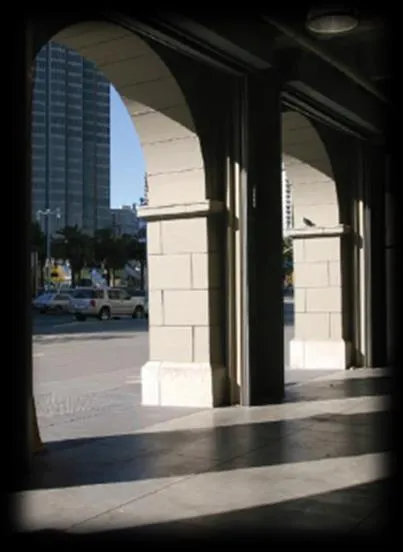
b) Large developments are encouraged to incorporate buildings with arcades and canopies for pedestrians.
1.3. Pedestrian Accessibility
Intent: To ensure private realm accessibility based on the needs of people of all ages, paying special attention to peoples with reduced mobility.
Guidelines:
a) Development is expected to not include elements that obstruct optimal accessibility;
b) Public entrances are expected be located at the level of the adjacent public walkway;
c) Building fronts located at ground level should be conducive of business related activities (i.e. browsing);
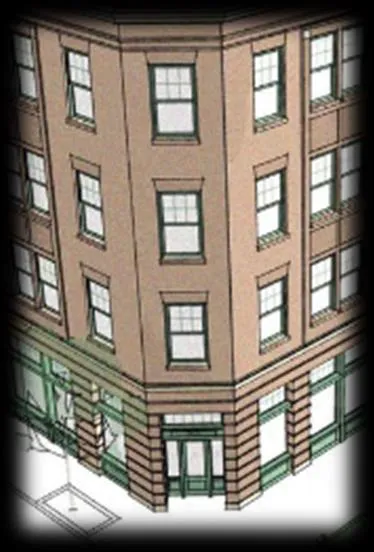
d) Corner buildings are expected be conducive to pedestrian movement along both fronts; and
e) Mid-block pedestrian alleys are encouraged for better access to rear parking.
2. VISUAL QUALITY
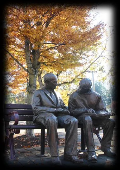
- Ensure that less desirable yet essential building qualities are masked and appearances preserved;
- Promote safety and usability of exterior areas; and
- Promote a greater sense of place that celebrates our community’s unique setting and people.
2.1. Screening
Intent: To create and protect visual quality and sight lines.
Guidelines:
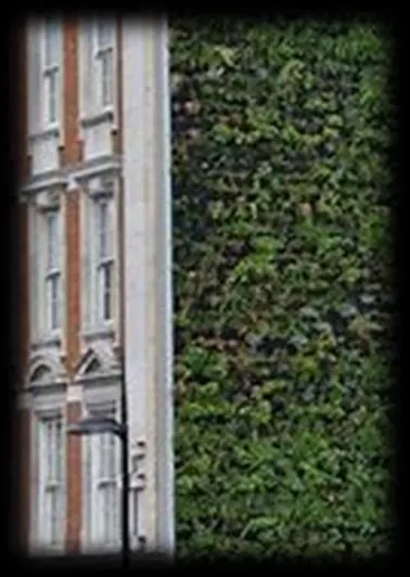
a) Vertical screening elements such as plantings or decorative walls are encouraged;
b) Shrubs, plantings, and berms should be used to create visual interest within developments;
c) All screening components should implement Crime Prevention Through Environmental Design (CPTED);
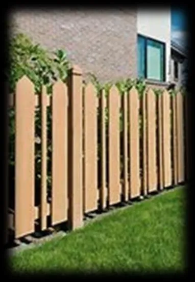
d) Permeable fences may screen views and create decorative accents;
e) Solid, visually impermeable fences for screening is discouraged; and
f) Unscreened and unenclosed storage is not preferred, and shall only occur at the discretion of the City Planner.
2.2. Exterior Lighting
Intent: To encourage on-site lighting that provides clear visuals and public and site security without diminishing visual appearance.
Guidelines:
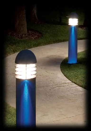
a) Lighting is expected to be provided for all on-site walkways, driveways, parking areas and loading areas;
b) On-site lighting shall be consistent and contained as well as mitigate up-casting via ground orientation;
c) Lighting is encouraged to enhance signage, architectural and landscaping features;
d) Light fixtures should be incorporated or concealed by the architectural and site design;
e) Lamp standards and fixtures, when stand-alone, shall be of high aesthetic quality;
f) Solar powered lights are encouraged; and
g) Developments near highly travelled areas are encouraged to provide after hours safety lighting.
2.3. Building Signage
Intent: To promote the design and integration of building signs that contribute to the image of the City Centre.
Guidelines:
a) Signs are expected to be integrated into building design and reflect the character of the architecture;
b) Signage is expected to reflect the size of establishment it represents;
c) Signage shall incorporate 3-dimensional elements (i.e. lettering and trim), and must not be flat;
d) Lettering and other graphic elements should be simple, utilizing a minimal number of colours; and
e) Luminous or exterior neon signs may occur if they do not interfere with their surroundings.
3. SITE DEVELOPMENT
- Ensure accessibility is considered for planning and design of buildings, the public realm and public parks;
- Develop more connected and integrated City Centre road networks; and
- Ensure flexibility and ability to adapt to future changes.
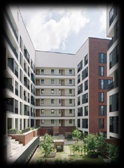
3.1. General Elements
Intent: To maximize development site potential and use.
Guidelines:
a) The development design should clearly integrate the overall character of the City Centre and neighbourhood;
b) All building development shall demonstrate a pedestrian focus through orientation, scale and frontage;
c) Development is expected to incorporate the siting and layout of adjacent sites to maximize neighbourhood interconnectedness;
d) Developments that face two or more streets are expected to treat all street facing facades as primary facades for design purposes; and
e) Development is encouraged to incorporate multiple lots (consolidation of two or more lots) so as to increase green space potential.
3.2. Driveways and Vehicle Entrances
Intent: To mitigate the presence of driveways and driveway intersections in the City Centre.
Guidelines:
a) For adjoining developments, shared driveways are encouraged;
b) Corner properties shall have driveway access from the less trafficked street;
c) The use of permeable materials for residential driveways is encouraged; and
d) Driveway design is expected to preserve entrance and departure sightlines.
3.3. Parking Lots and Structures
Intent: To incorporate parking into the pedestrian oriented City Centre
Guidelines:
a) Parking is expected to be internalized within a structure or placed at the rear of the site;
b) For adjoining developments, shared parking lots are encouraged;
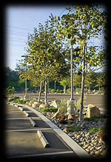
c) Larger parking lots are expected to be segmented into attractive parking areas through the use of landscaping;
i. Planted medians should be wide enough to support rooting areas;
ii. Planted medians should preserve sight lines; and
iii. Plantings should provide year round visual interest.
d) Parking lots and structures are expected to be buffered with vegetation or screening while permitting views into and through the site;
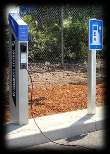
e) Residential parking lots and structures are expected to incorporate wiring for EV charging stations;
f) Storage and garbage areas shall be adequately incorporated and screened within parking lots and structures; and
g) Bicycle storage shall be incorporated and concealed through architectural design.
3.4. Parking Garages and Carports
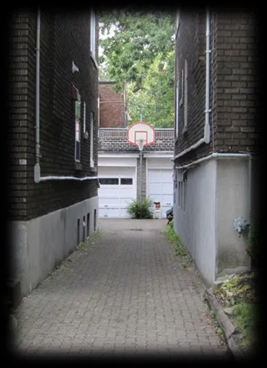
Intent: To mitigate visual dominance and promote a pedestrian-centric environment.
Guidelines:
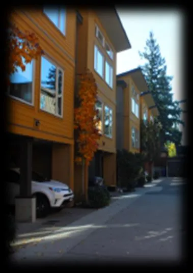
a) Garages and carports shall not be the dominant feature of residential buildings;
b) The siting of garages and carports shall be set behind the leading front façade;
c) Garages and carports are encouraged to be at the rear or side of residential buildings; and
d) Garages are expected to have a minimal frontage appearance, promoting a pedestrian environment.
4. GENERAL FORM AND CHARACTER DESIGN
- Create livable streets through scale, form, building orientation and character elements;
- Promote a greater sense of place that celebrates our community’s unique setting and people;
- Encourage energy efficiency and green building development for new buildings; and
- Ensure flexibility and ability to adapt to future changes.
4.1. Orientation and Massing
Intent: To utilize development for the purposes of framing public areas.
Guidelines:
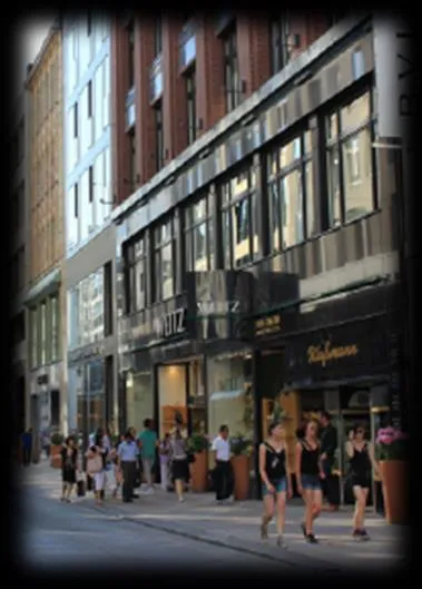
a) Buildings are encouraged to be designed with minimal front lot line setbacks;
i. Buildings incorporating plazas or outdoor seating shall not have zero setback; and
ii. Plazas and outdoor seating areas are expected to incorporate compatible architectural features with adjoining buildings.
b) Taller buildings are expected to incorporate tower-podium building massing, various forms or stepped-back upper levels; and
c) Massing is expected to reflect the human scale of the neighbourhood within the City Centre.
4.2. Façade Features
Intent: To promote a sense of place through visually attractive façades.
Guidelines:
a) Architectural components are expected to differentiate the primary façade from other building sides;
b) Architectural features should highlight structural forms and modulate façades;
c) Uninterrupted walls facing open areas or lot space should include alternative forms of visual appeal (i.e. murals);
d) Side and rear walls, facing walkways, should include an architectural façade feature to animate the pedestrian realm; and
e) Façades should highlight the base, middle and top through distinct architectural features.

4.3. Building Entry and Access
Intent: To promote a variety of visually appealing and user friendly building accesses.
Guidelines:
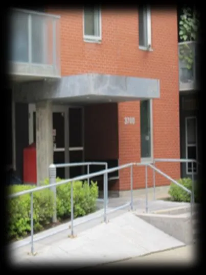
a) Large Residential buildings should provide individual walk up entries for ground level units;
b) Individual entrances in multi-tenant buildings are expected to be clearly separate and should make use of a variety of architecture features, materials and colour schemes;
c) Entrances are expected to include covering features to protect users from weather; and
d) Primary and secondary entrances shall be visible from the street for safety.
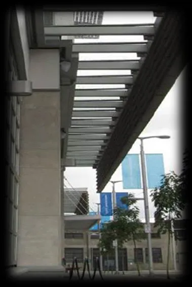
4.4. Roofscapes
Intent: To ensure roofs are an extension of building design consideration.
Guidelines:
a) Roofs are expected to reflect the buildings façade features and should respect the design of adjacent buildings;
b) Mechanical equipment shall be setback from the perimeter and screened;
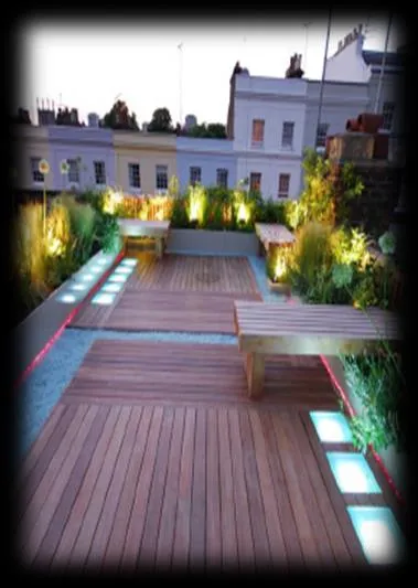
c) Tall residential buildings are encouraged to incorporate roof-top terraces and patios; and
d) Small residential buildings are encouraged to incorporate skylights.
4.5. Materials
Intent: To create consistency of material usage by new developments within the City Centre.
Guidelines:
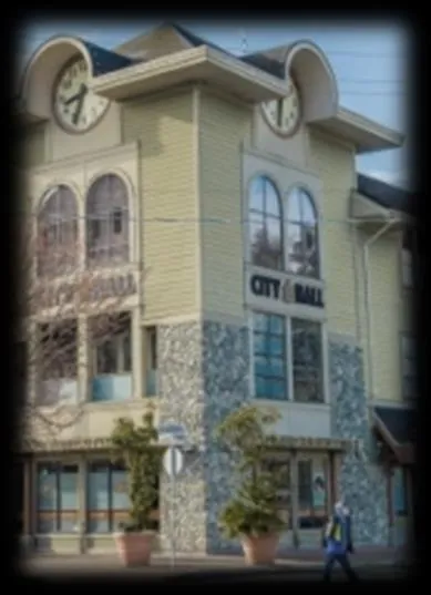
a) Accent materials are expected to respect those of adjacent and nearby buildings (i.e. river rock);
b) Window material shall be clear glass, while screening glass shall be opaque (i.e. opaque glass on balconies);
c) Heavily tinted and reflective glass is strongly discouraged;
d) Construction materials (i.e. metal, brick, wood) may be used as cladding materials;
e) Smooth faced concrete and vinyl is strongly discouraged for finished exteriors; and
f) Materials are expected to remain consistent on all sides of the building.
4.6. Colours
Intent: To create a colour landscape that is not visually overwhelming.
Guidelines:
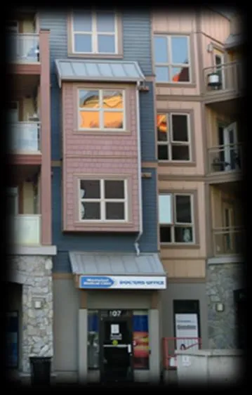
a) The primary colours of a development shall utilize earth tones and muted variations of the 12-spoke colour wheel;
b) Colour schemes should be respective to the colours of surrounding buildings; and
c) Solid colours or pure hues and their various tints, shades and tones may be incorporated for accents and accent features as permitted by the City Planner.
5. BUILDING TYPE
- Ensure accessibility is considered for planning and design of buildings, the public realm and public parks;
- Ensure flexibility and ability to adapt to future changes; and
- Promote design individuality within a consistent pattern through the community.
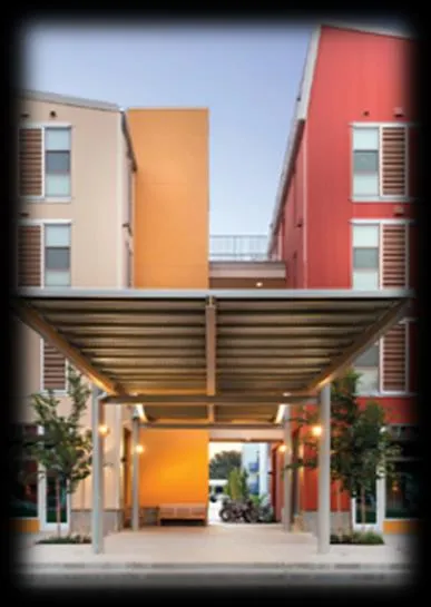
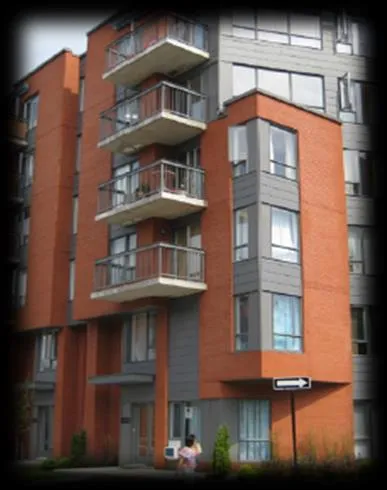
5.1. Apartment Buildings
Intent: To have apartment buildings contribute to the housing density and visual appearance of the City Centre.
Guidelines:
a) Large apartment buildings shall have a ground level that engages the pedestrian environment, animates the street and provides individuality from adjacent buildings;
b) Large façades are expected to be broken up by using a variety of materials and architectural features;
c) Balconies and patios should be a feature of every unit;
i. Balcony and patio screening shall be an opaque glass; and
ii. Area must be a functional area, not solely an architectural feature.
d) Visual characteristics of adjacent buildings should be incorporated into new development; and
e) Adjacent developments should promote sense of community through incorporating adjoining green or open space.
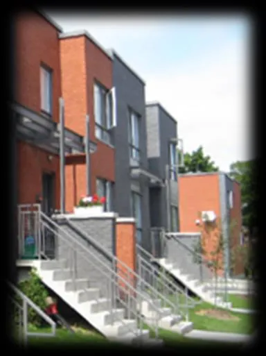
5.2. Townhouses and Row-Homes
Intent: To create micro communities and a variety of visually conforming housing options within the City Centre.
Guidelines:
a) Designers are encouraged to emphasize individuality of buildings while incorporating aspects of adjacent developments;
b) Entrances and front façades are expected to engage the pedestrian environment; and
c) Green and open space should be incorporated into a common use area.
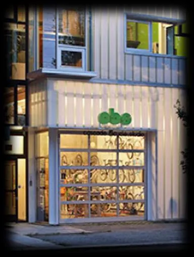
5.3. Mixed-Use
Intent: To create symbiotic relationships between commercial and residential applications within the same development.
Guidelines:
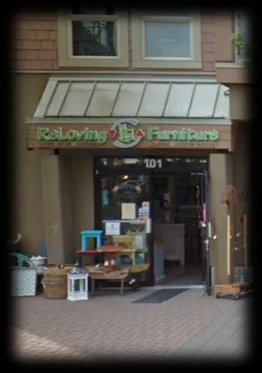
a) Commercial spaces are expected be located on the ground level with direct pedestrian access;
b) Ground level should be taller than typical upper level;
c) Clear glass fenestration is encouraged for the façade of ground level commercial spaces;
d) Front facades should be designed in smaller segments, avoiding large continuous façade designs;
e) Entrances for commercial and residential uses are expected to be easily distinguishable; and
f) Upper floors should project over lower commercial space.
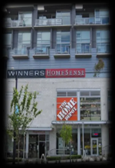
5.4. Commercial Spaces (Large/Small)
Intent: To integrate solely retail establishments (large and small) into the urban pattern of the City Centre.
Guidelines:
a) Large format stores are expected to reduce their footprint by incorporating multiple storeys;
b) Clear glass fenestration is encouraged for the façade of ground level commercial space;
c) Upper level facades shall incorporate elements of adjacent buildings;
d) Entrance features for weather protection should be incorporated into architectural design; and
e) The façade of larger stores is expected to be broken down into smaller segments to blend the large and small commercial spaces.
5.5. Office Buildings
Intent: To promote the integration of stand-alone office structures into City Centre urban design.
Guidelines:
a) The main entrance should be set back front the front façade and located on ground level (recessed entrance);
b) Glazed glass should be used for ground level fenestration;
c) Upper levels should be articulated similarly to adjacent buildings; and
d) The ground level should be taller than standard single floor height.
5.6. Light Industrial
Intent: To integrate light industry into the City Centre while mitigating the visual presence.
Guidelines:
a) Buildings are expected to be fenestrated and finished to blend with the surrounding neighbourhood; and
b) Design should blend and incorporate architectural features of the surrounding non-industrial buildings.
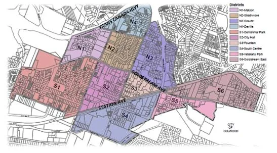
6. CITY CENTRE NEIGHBOURHOODS
- Ensure development in and around centres supports a nodal pattern of development;
- Encourage the growth of business activities in all parts of the community as a mixed-use urban design objective;
- Preserve and increase the stock of safe and affordable housing;
- Support residents in moving through the stages of the housing continuum and facilitating the delivery of a range of housing types along the continuum; and
- Pursue ‘aging in place’ and accessibility strategies for housing.
Intent: This section provides background information and development focus for each neighbourhood based on the pre-existing conditions, location and relativity to OCP vision.
N1 Matson
The Matson neighbourhood is comprised of low-rise residential buildings as well as a variety of commercial buildings along Goldstream Ave. The school on the east side offers a large green space. This neighbourhood is a suitable location for future medium to high-density residential development due to the proximately to school and commercial spaces of the City Centre.
Development within the Matson area shall incorporate mixed-use development along Goldstream Ave. as well as medium-density residential development towards to north end. A development emphasis should promote a family oriented neighbourhood, with additional green and open space.
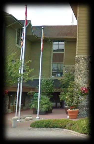
N2 Strathmore
The Strathmore neighbourhood is located towards the middle of the City Centre. The borders consist of main connector roads going north/south and east/west.
This neighbourhood is a very suitable location for medium and high-density residential development due to the variety of existing building types.
Development along Peatt Rd. and Goldstream Ave., including the southern end of Jacklin Rd. shall contain commercial and heavily pedestrian oriented ground floors.
A development emphasis should be on creating an animated street level for the public.
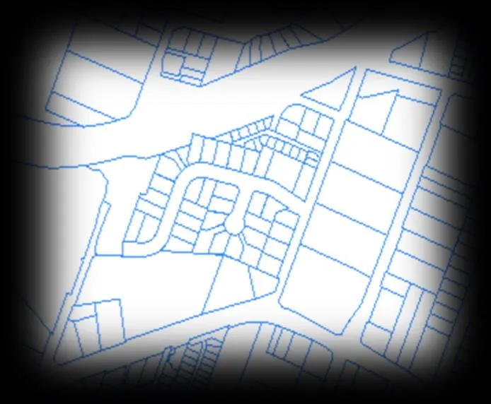
N3 Claude
The Claude neighbourhood contains a major transportation artery and a significant commercial area along Goldstream Ave.
Due to the proximity of amenities and transportation routes, Claude is an ideal neighbourhood for high-density residential development.
Development shall focus on creating a residential node near the commercial activity along Goldstream Ave.
A development emphasis should create pedestrian access between the cul-de-sacs to create an attractive and walkable neighbourhood.

N4 Deville
The Deville neighbourhood is located at the northern edge of the City Centre restricted by the Highway to the north.
This neighbourhood is comprised predominantly of residential buildings. Further residential development shall consist of medium and high-density buildings that maximize the infill density of the neighbourhood.
A development emphasis should incorporate green and open space into the residential developments to increase active space for residents within the neighbourhood.
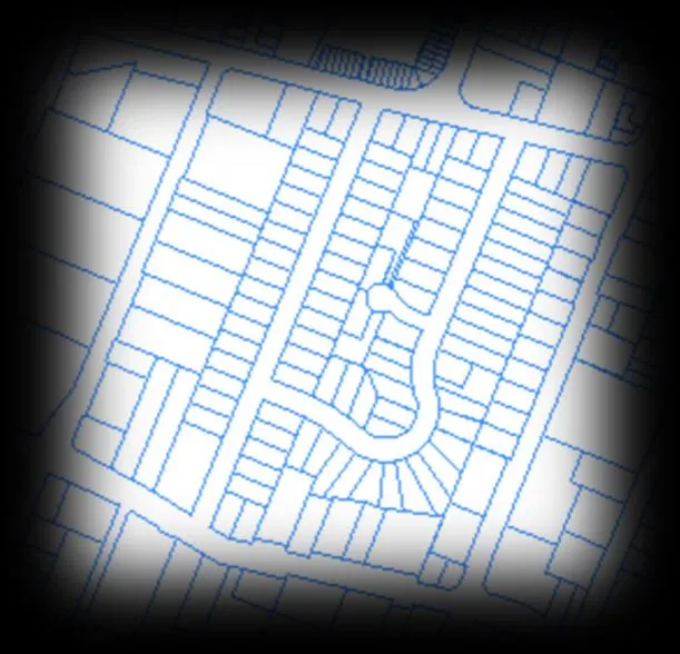
S1 Centennial Park
Surrounding a large green space, the Centennial Park neighbourhood boasts late century single family dwellings located on cul-de-sac roads.
This neighbourhood is very suitable for mixed-use development, shared streets and enlarged walkways as well as high-density apartment buildings near Goldstream Ave.
Other opportunities for development in this neighbourhood include townhouses and medium-density apartments to replace the single-family dwellings on cul-de-sacs and shared streets.
Emphasis within the Centennial Park neighbourhood shall be placed on a family focus and being able to move through the housing continuum by addressing various housing types.

S2 City Hall
The City Hall neighbourhood has a wide variety of uses from light industrial to mixed-use and residential.
This neighbourhood, due to the variety of uses and central location in the City Centre, serves as a representation for the remainder of the City.
Development within this neighbourhood shall include medium and high-density residential as well as mixed-use buildings along Goldstream Ave. Buildings not used for residential purposes, shall incorporate and blend design to maximize consistency.
Emphasis within the City Hall neighbourhood shall be to create a walkable, pedestrian oriented neighbourhood.
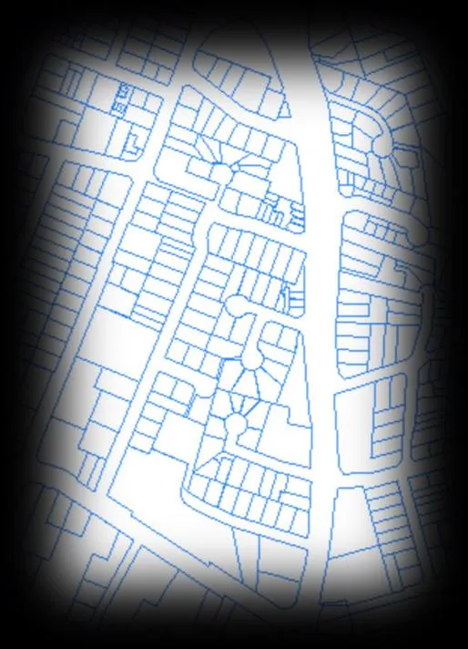
S3 Fountain
The Fountain neighbourhood is the smallest and most central within the City Centre. This neighbourhood is comprised of commercial amenities as well as some residential space.
This neighbourhood is very suitable for further commercial development as well as incorporating high-density mixed-use buildings.
Due to the size and location of the Fountain neighbourhood, development should emphasize a pedestrian orientation through alternative parking solutions and the incorporation of commercial and mixed-use buildings. Also emphasized is the inclusion of plazas and public space within this neighbourhood.

S4 South Centre
The South Centre neighbourhood hosts big box stores in the southern section and a mixture of residential densities to northeast.
Development shall blend the big box commercial into the residential through the incorporation of architectural features as described in the design guidelines.
Medium-density development should be situated above multi-level retail and commercial space while shifting to high-density residential towards the convergence of Station Ave. and Veterans Memorial Parkway.
A development emphasis should promote permeable ground surface material and the incorporation of green and open spaces.
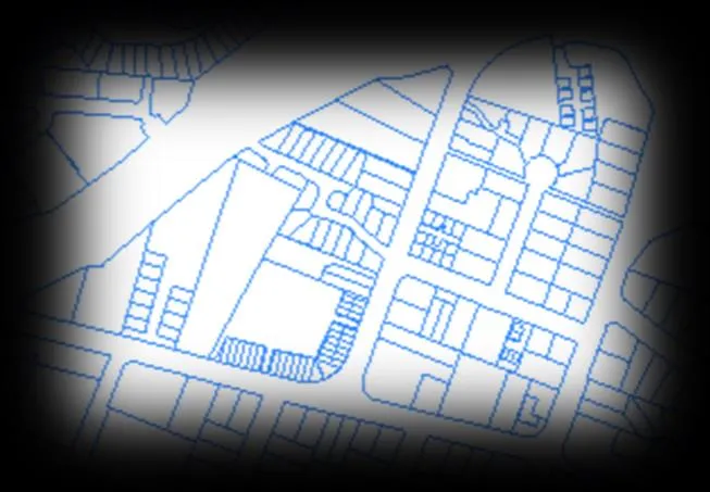
S5 Veterans Park
Veterans Park is a small neighbourhood that borders Colwood to the south and Goldstream Ave. to the north. Largely occupied by residential lots, this neighbourhood should boast medium to high-density residential development.
Due to the small geographic size of this neighbourhood, the goal of Veterans Park is to create an extremely walkable and pedestrian oriented environment.
A development emphasis should incorporate new and existing green space and shared streets to maximize public space.

S6 Goldstream East
The Goldstream East neighbourhood is located on the easternmost boundary of the City Centre and is comprised of predominantly low-rise single-family dwellings. There are commercial and institutional facilities located along the western portion of Goldstream Ave.
Development shall focus on medium and high-density residential buildings located towards the Goldstream Ave. and Veterans Memorial Pkwy. Intersection.
A development emphasis should incorporate pedestrian access between cul-de-sac roads in the east as well as creating a family orientation near the school with green and open space.
City Centre (Schedule A — Official Community Plan text replacement)
- A major regional growth and employment centre that supports a wide range of high-density housing, including affordable and rental housing, in conjunction with commercial, office, institutional and light industrial uses;
- A place with the highest degree of inter-city connection through a regional transportation network and transportation hubs;
- A place where a wide range of public squares, parks, and open spaces are integrated throughout;
- A place of community gathering and celebration where civic uses and public buildings are key landmarks; and
- A place of interactive and animated streetscapes where public art and public space are employed to celebrate local cultural and natural history.
A Concept for the City Centre
Langford’s City Centre is intended to be an area of high-density development that is both vibrant and walkable, with multi-modal connectivity to other similar hubs in the Capital Region.
The City Centre will focus on mixed-use development, with the highest concentration being adjacent to major arterial routes such as Goldstream Avenue, Veterans Memorial Parkway, Peatt Road and Jacklin Road. This is meant to solidify the Goldstream corridor as the heart of the City Centre.
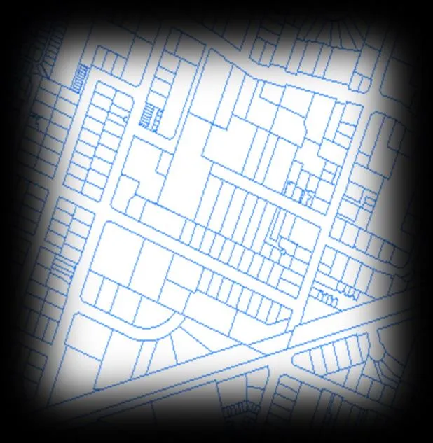

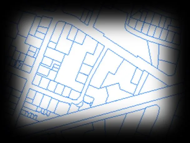
Development density will radiate outwards from Goldstream Avenue, with the density of individual lots being determined at the time of zoning. The City Centre will engage with its surrounding environment and incorporate green space, pocket parks and pathways that contribute to the interconnectedness, walkability and livability of the City Centre. Every new development shall consider how to include park and open space in a manner that contributes to the overall community space.
The City Centre shall be an interconnected and developmentally diverse area that promotes community cohesiveness through civic features, mixed-use and high-density residential developments.
Objective 1.1 — Promote Civic Activities in the City Centre
Policy 1.1.1
Locate and/or maintain civic buildings in the City Centre to reinforce the function and focus of the City Centre.
Policy 1.1.2
Ensure that civic buildings are and continue to be distinctive as landmarks within the City Centre.

Objective 1.2 — Maintain a Regional Focus
Policy 1.2.1
Commercial and institutional land uses, services and amenities in the City Centre will balance regional services with amenities and services for local residents.
Policy 1.2.2
Transportation services and infrastructure in the City Centre will connect users to regional transportation systems.
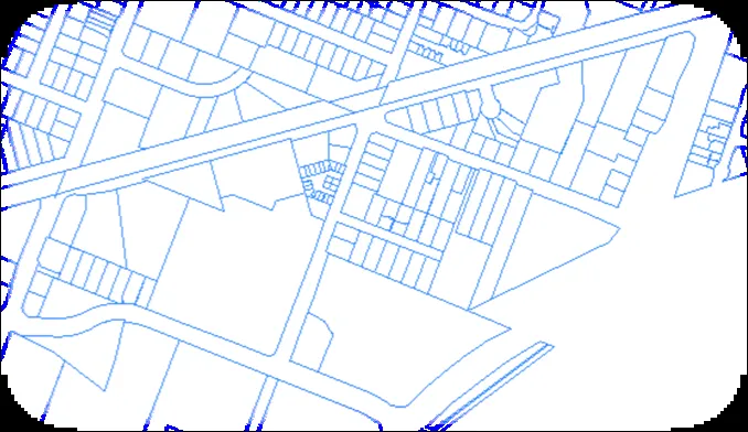
Objective 1.3 — Green and Open Space
Policy 1.3.1
Contribute to initiatives that enhance the urban forest and tree canopy.
Policy 1.3.2
Implement and reinforce open space targets within City Centre, including adding passive park spaces.
Policy 1.3.3
Enhancement of pathways and pocket parks will connect neighbourhoods throughout the City Centre.

Objective 1.4 — Building Sustainability
Policy 1.4.1
Pursue opportunities to implement Smart Technology in the City Centre infrastructure to improve efficiency and reduce water and energy usage.
Policy 1.4.2
Encourage new development to exceed the minimum energy efficiency standards in the BC Building Code.
Policy 1.4.3
Encourage new development to consider proven environmentally friendly practices such as (but not limited to) reducing potable water usage, recycling grey water, improving overall energy efficiency, passive and/or active solar heating/cooling, use of locally sourced materials, reduction or re-use of construction waste, and improved energy efficiency through enhanced landscaping (eg: green roofs, green walls).
Policy 1.4.4
Provide incentives to new development that present innovative solutions to reduce the carbon footprint of buildings, or help to reduce the reliance on fossil fuels by the intended residents of development.
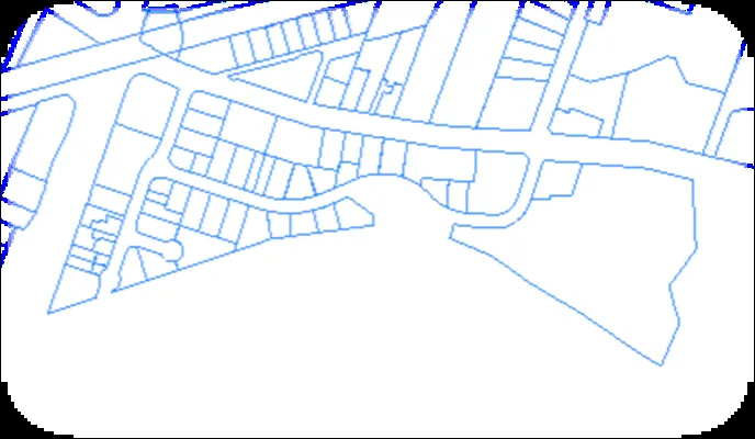
Objective 1.5 — Long-term Development Pattern
Policy 1.5.1
Over time, the entire City Centre is expected to transform to higher-density forms of development, with the highest density being situated in closest proximity to the principal transportation corridors: Goldstream Avenue and the E&N Rail Corridor.
Policy 1.5.2
Development scale and permitted density will be determined on a case-by-case basis at the time of rezoning.

Objective 1.6 — Economic and Social Sustainability
Policy 1.6.1
Mixed residential and commercial use is encouraged throughout the City Centre. Council, at the time of zoning, may influence both the location and scale of commercial development as it relates to associated residential uses.
Policy 1.6.2
Mixed residential and light industrial use is encouraged, provided an appropriate “fit” with surrounding land uses. Mixed residential and light industrial development may take the form of industrial studio space integrated with living space, or industrial and residential units that are separate tenancies in the same building or complex.
Policy 1.6.3
The City Centre shall be developed with a vibrant mix of housing types and tenures to provide housing for the widest possible range of people. Council may influence, at the time of zoning, residential scale, unit type and tenure.
CITY OF LANGFORD — BYLAW NO. 1828
A BYLAW TO AMEND BYLAW NO. 1200, “LANGFORD OFFICIAL COMMUNITY PLAN BYLAW, 2008"
The Council of the City of Langford, in open meeting assembled, hereby enacts as follows:
A. Langford Official Community Plan Bylaw No. 1200, 2008 is amended as follows:
- By replacing the City Centre section of the Official Community Plan with the text attached to this bylaw as Schedule A;
- By replacing the phrase “Section 919.1(1)(e) and (f) of the Local Government Act” with: “Section 488(1)(e) and (f) of the Local Government Act” in section 14 paragraph 2.
- By replacing the phrase “Section 919.1(1)(a) of the Local Government Act” with: “Section 488(1)(a) of the Local Government Act” in section 14 paragraph 4.
- By replacing the phrase “Section 919.1(1)(b) of the Local Government Act” with: “Section 488(1)(b) of the Local Government Act” in section 14 paragraph 7.
- By replacing the phrase “Section 919.1(1)(b) of the Local Government Act” with: “Section 488(1)(b) of the Local Government Act” in section 14 paragraph 8.
- By deleting the paragraph: “The City of Langford designates all lands identified on Map 20 as the Sooke Road Commercial Revitalization Development Permit Area and all lands identified on Map 21 as the Downtown Pedestrian Commercial Development Permit Area as commercial revitalization development permit areas pursuant to Section 919.1(1)(d) of the Local Government Act. The form and character of development in these areas is of particular importance to the City’s image and the City has particular objectives to encourage revitalization of older commercial premises and to ensure that new development incorporates pedestrian-oriented site planning, articulated and attractive building design, site amenites, and high quality public and private realm landscaping.”
And replacing it with:
“The City of Langford designates all lands identified on Map 20 as the Sooke Road Commercial Revitalization Development Area and all lands identified on Map 21 as the City Centre Development Permit Area as commercial revitalization development permit areas pursuant to Section 488(1)(d) of the Local Government Act. The form and character of development in these areas is of particular importance to the City’s image. The City has particular objectives to encourage revitalization of older commercial premises to ensure that new development incorporates pedestrian-oriented site planning, articulated and attractive building design, site amenities, and high quality public and private realm landscaping.” - By replacing the phrase “Section 920.1 of the Local Government Act” with: “Section 484 of the Local Government Act” in section 14 paragraph 10.
- By replacing the “City of Langford Downtown Pedestrian Commercial Area Map 21” with: “Map 21: City Centre Development Permit Area” as attached in Schedule B of this Bylaw.
B. This Bylaw may be cited for all purposes as “Langford Official Community Plan Bylaw, Amendment No. 30, 2019, Bylaw No. 1828".
READ A FIRST TIME this
day of , 2019.
PUBLIC HEARING held this day of , 2019.
READ A SECOND TIME this day of , 2019.
READ A THIRD TIME this day of , 2019.
ADOPTED this day of , 2019.
MAYOR
(Certified Correct)
CORPORATE OFFICER

Schedule B
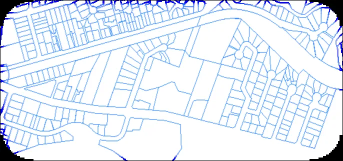
Map 21: City Centre Development Permit Area (attached in Schedule B of Bylaw No. 1828)
Note: The images included in the guideline sections were referenced in-line where they appear to illustrate the respective guideline context. All maps, diagrams and illustrative images appearing in the pages 113–141 have been referenced above in their contextual locations.
(Referenced images listed in order of appearance: Image 1 through Image 46.)
Document Images
(10)