DocumentsAppendixOct 2, 2017Page 47
Schedule A - Map (Bylaw No. 1738)
Map (Schedule A) attached to Bylaw No. 1738 showing the lands to be re-designated on OCP Map 2.
Key facts
- Graphical schedule illustrating parcels/shaded areas subject to Bylaw No. 1738
- Referenced as Schedule A to the bylaw
Schedule A
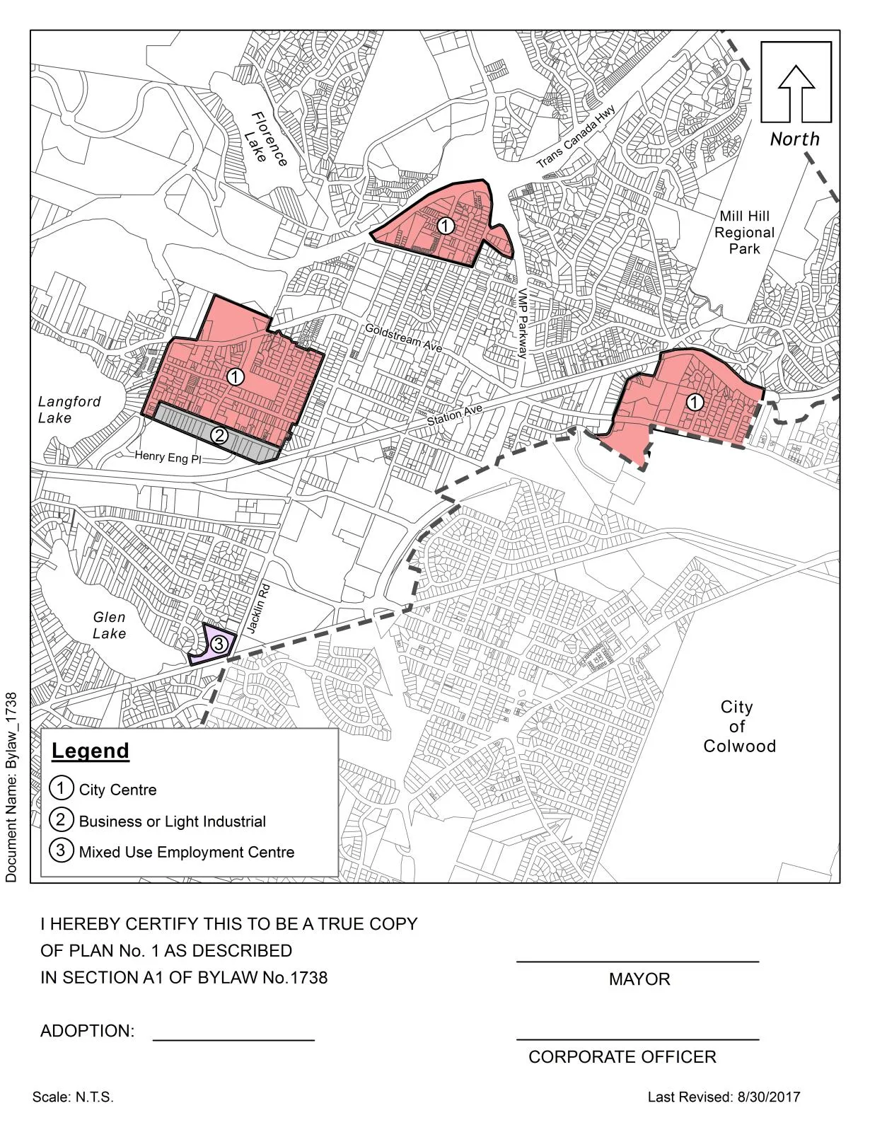
Legend
| Symbol | Description |
|---|---|
| 1 | City Centre |
| 2 | Business or Light Industrial |
| 3 | Mixed Use Employment Centre |
Certification
I HEREBY CERTIFY THIS TO BE A TRUE COPY
OF PLAN NO. 1 AS DESCRIBED
IN SECTION A1 OF BYLAW No.1738
MAYOR
ADOPTION: _______________
CORPORATE OFFICER
Scale: N.T.S.
Last Revised: 8/30/2017
Document Name: Bylaw - 1738
Page 47
Extracted from: 20171002-Agenda-Package(141 pages total)